


Tip of the spear wildlife services
At Tip of the Spear Wildlife Services, our work is rooted in stewardship and a commitment to ensuring natural resources remain productive and resilient for generations to come. We apply structured evaluation and sound scientific methods to assess habitat conditions, species dynamics, and long-term sustainability.
Effective wildlife management requires clearly defined objectives, measurable strategy, and data-driven decision-making. Each project is approached with ecological integrity and practical application, producing recommendations designed to preserve and strengthen natural resources for landowners, conservation organizations, and resource managers alike.
Habitat Assessment & Evaluation
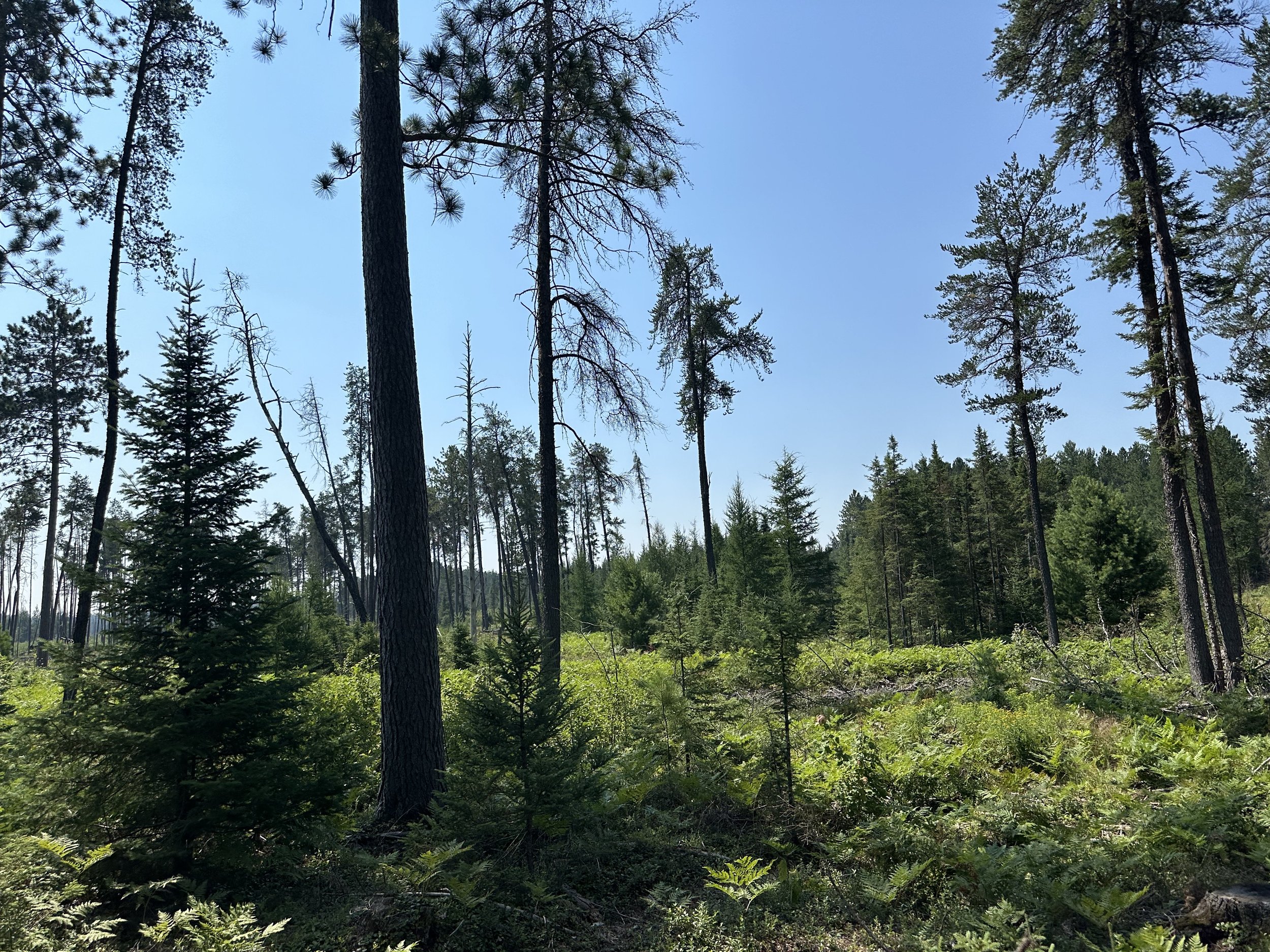

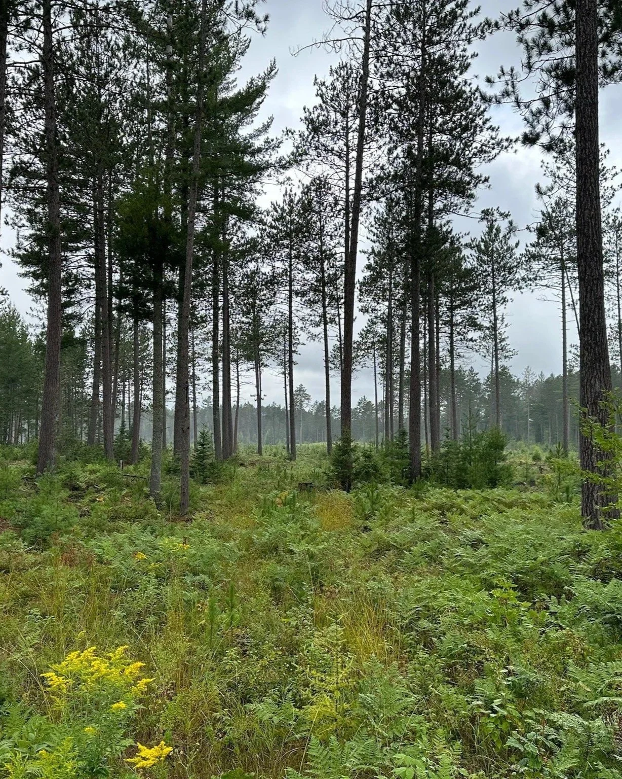
We provide comprehensive habitat assessments to help landowners understand current conditions and identify opportunities for improvement. Evaluations are conducted on site and consider a wide range of environmental and biological factors, including soil characteristics, water features, vegetation composition, habitat structure, and observed wildlife use.
Services may include baseline habitat evaluations, food and cover availability assessments, GIS based mapping, and identification of limiting factors influencing wildlife use. Each assessment is built around real field observations and supported by mapping and data interpretation when applicable.
Our goal is to give you a clear, accurate picture of how your property is currently functioning from a habitat standpoint and where improvements can be made.
Habitat Planning & Management Recommendations
Based on assessment findings, we provide practical, site specific recommendations to improve habitat quality and wildlife use. This may include food plot planning, vegetation management strategies, cover enhancement, access improvements, and long term habitat development goals.
Plans are tailored to your property, your goals, and your available resources, with a focus on realistic implementation and long term success.
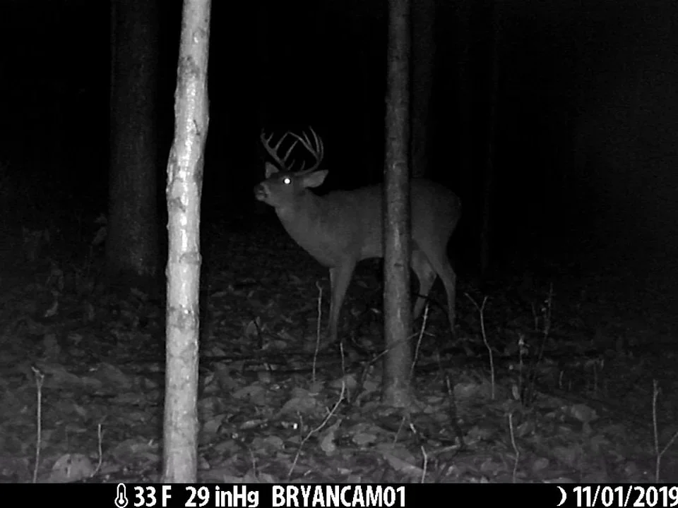
Population Assessment & Monitoring
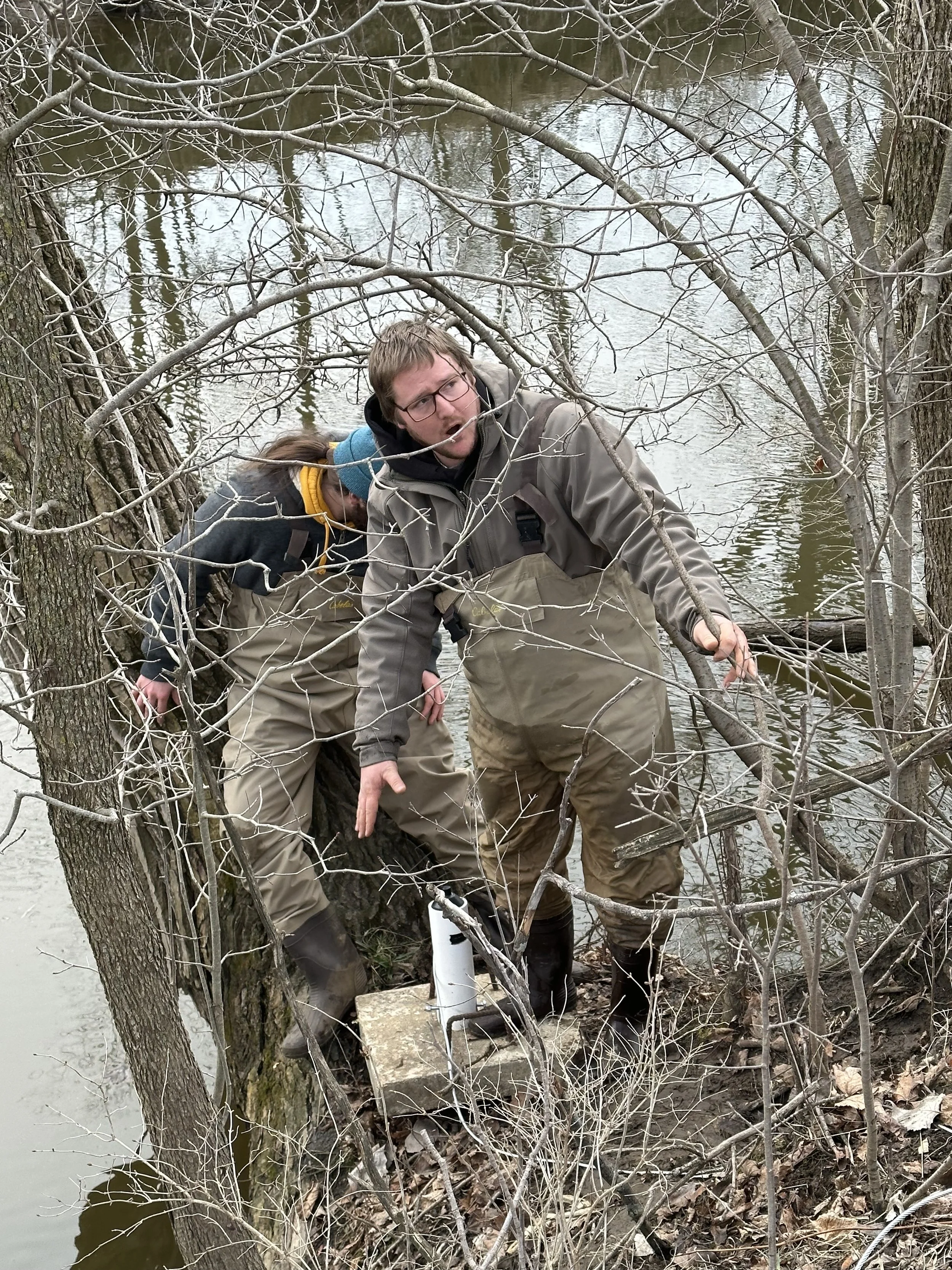
We offer population assessment and monitoring services to help landowners and resource managers better understand wildlife presence, relative abundance, and trends over time. Our approach combines structured field observations with proven monitoring techniques to provide reliable, repeatable data.
Data collection typically includes camera based surveys using strategically placed trail cameras, direct field observations, and indirect sign based surveys such as tracks, scat, browse pressure, and other indicators of wildlife use. Additional tools, including hair snares or other remote monitoring methods, may be incorporated where appropriate.
Species specific survey methods can also be applied based on objectives and site conditions. These may include point counts, call surveys, or seasonal monitoring approaches tailored to the species of interest.
With a primary focus on game species, and additional species considered on a case by case basis, these assessments are designed to support habitat decisions, inform harvest strategies, and guide long term management goals. Emphasis is placed on consistent, field tested methods that allow conditions and wildlife use to be tracked and compared over time.
Management Planning & Decision Support
We provide management planning and decision support to help landowners and managers translate data into clear, actionable strategies. Recommendations are developed by integrating habitat conditions, wildlife use, population information, and site specific goals to identify practical management priorities.
Planning may include habitat improvement strategies, access and pressure management, harvest recommendations, and long term stewardship objectives. Each plan is tailored to the property and built around realistic actions that align with landowner goals, available resources, and ecological constraints.
Where appropriate, management plans are designed to support continued monitoring and evaluation, allowing outcomes to be assessed over time and strategies to be adjusted as conditions change or new information becomes available.


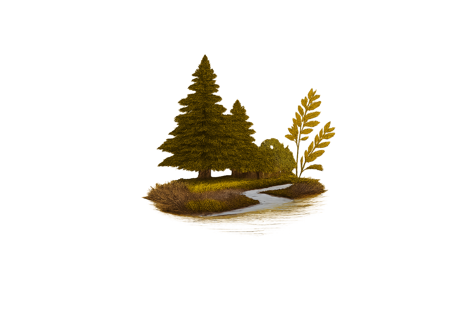
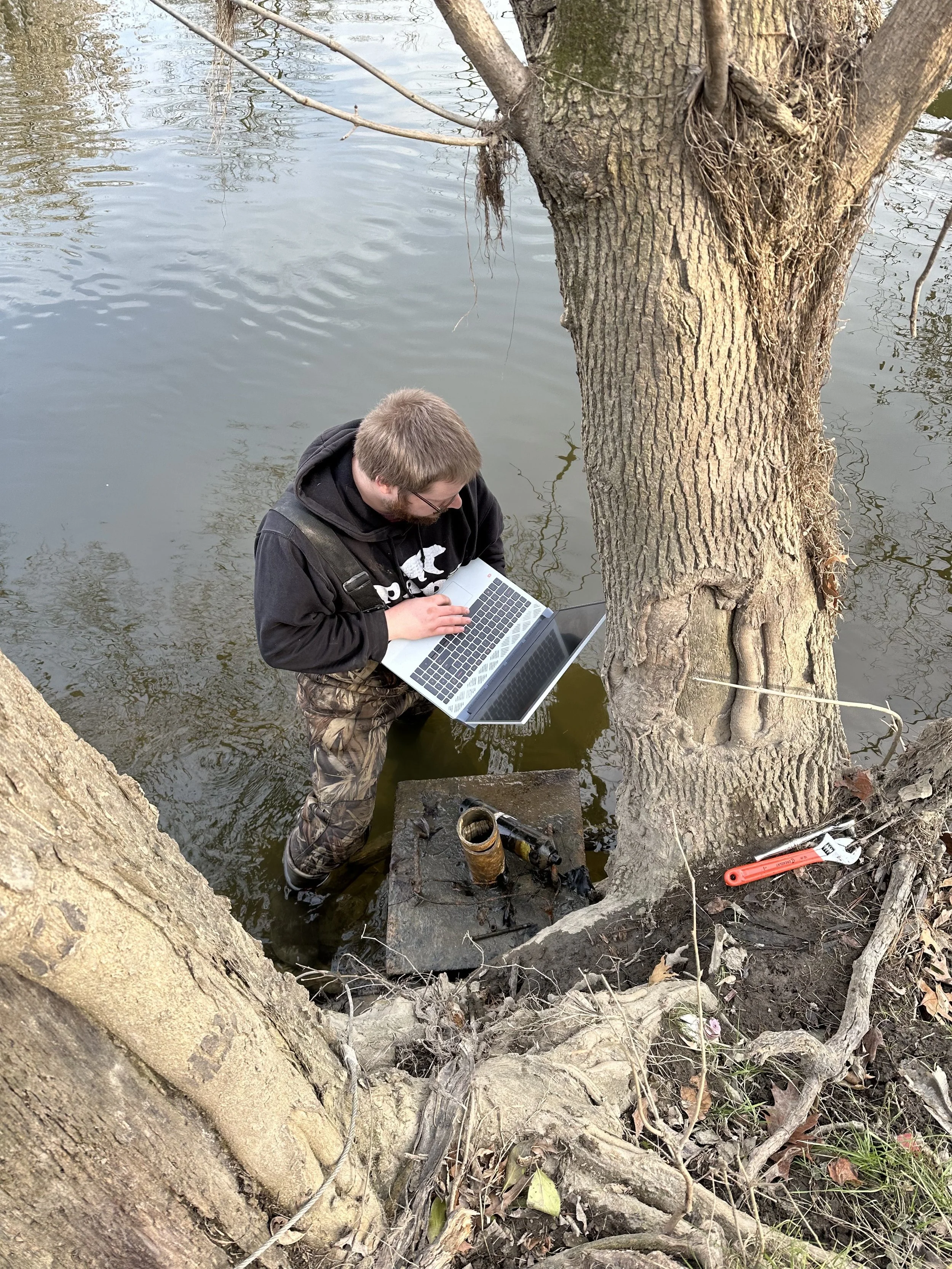
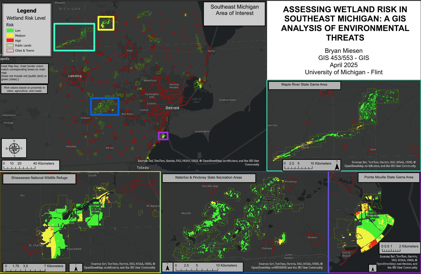
GIS & Deliverables
We use GIS based spatial analysis to develop clear, property specific deliverables that support habitat assessments, population evaluations, and management planning. Mapping products are tailored to project objectives and may incorporate aerial imagery, habitat classifications, access and pressure considerations, terrain features, water resources, and other site relevant information.
Deliverables may include annotated maps, written summaries, management recommendations, monitoring frameworks, and digital resources designed to support both short term decisions and long term planning. Products are developed to be practical, easy to interpret, and directly applicable to on the ground management.
Project scope and deliverables are customized to each client and objective. The examples described here are not exhaustive, and additional analyses, digital products, or reporting formats may be developed as appropriate based on project needs.
Example GIS deliverable showing a wetland risk assessment developed using multiple environmental and spatial factors. Final analyses and products are customized to each project and management objective.

Landowner Starter Services
Not every property owner needs a full management plan right away. These lower commitment services are designed to help landowners start learning about their property, ask questions to begin making informed habitat and wildlife management decisions.
They also provide a great opportunity to build a working relationship before moving into larger projects or long-term management planning.
-
Duration: 60–90 Minutes
Investment: Starting at $75
Division: Wildlife ServicesOverview
A simple on-site walkthrough focused on habitat observations, wildlife sign, property layout, access considerations, food sources, cover, and general improvement opportunities.
Great for:
New landowners
Small properties
Hunters looking for direction
Landowners considering future habitat work
Additional travel fees may apply for properties outside the local service area.
-
Investment: Starting at $50
Division: Wildlife ServicesOverview
Review existing trail camera photos, scouting observations, maps, and property information to discuss wildlife activity, habitat use, movement patterns, camera placement considerations, and general management ideas.
This service is designed to provide general insight and discussion based on information provided by the landowner and is not intended to replace formal population surveys or comprehensive wildlife monitoring programs.
Available as:
Virtual consultation
Phone call
In-person add-on
-
Ask a Wildlife Biologist
Duration: 30–45 Minutes
Investment: Starting at $40
Division: Wildlife ServicesOverview
A one-on-one conversation designed for landowners, hunters, anglers, and outdoor enthusiasts looking to ask questions and gain general insight related to wildlife, habitat, fisheries, scouting, land management, conservation, and outdoor topics.
Common discussion topics may include:
Deer habitat and movement
Trail camera questions
Habitat improvement ideas
Wildlife sign identification
Fisheries and pond questions
Property management considerations
Scouting observations
General wildlife behavior
This service is intended for general educational discussion and guidance and does not replace formal site assessments, management plans, or professional regulatory consultation services.
Available by:
Phone call
Video call
In-person add-on
Typical Investment
Wildlife services are customized based on property size, project scope, and management objectives. Every property is unique, and recommendations are tailored to meet your specific goals.
• Property & Habitat Consultation – generally starting around $500
• Population Monitoring Services – generally starting around $600
• GIS Mapping & Custom Deliverables – generally starting around $300
• Comprehensive Wildlife Management Plans – quoted based on acreage and scope
Deliverables vary based on property size and project scope.
Written summaries or formal reports are included where appropriate, depending on service level.
Not sure where to start or have questions about your property? Reach out to discuss your goals and determine if a consultation is the right fit.
Additional Services Coming Soon
Additional wildlife and fisheries services are currently in development and will be added as offerings expand. Future work may include fisheries focused assessments, monitoring, and data driven management support.
If you have a project in mind that falls outside the services listed above, please reach out to discuss your goals.

Request a consultation
Interested in discussing your property or management goals? Complete the form below and we will coordinate a consultation call tailored to your needs.